Straight Line Kilometres: Defining our roads
SLKs – or Straight Line Kilometres – are a location reference system used by Main Roads Western Australia, covering roads under their administration all over the state, even including Christmas Island and the Cocos Islands. Since August 2020, the data-set has been made publicly available under the Creative Commons Attribution 4.0 License, allowing anyone to use it within the terms of the license – which permits commercial use.
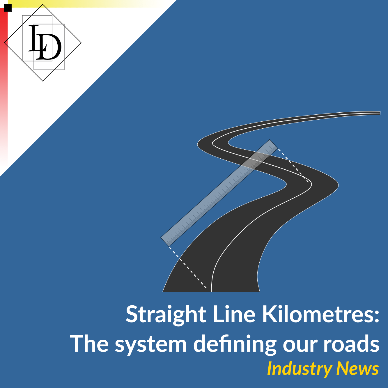
The practicality of this tool is easily seen in the case of maintenance. As an example, a hypothetical pothole – say 520 metres along Centenary Av – could be identified by the road id and distance in km from the defined starting point (in this case Road #1141100, SLK 0.52). Such a point corresponds to a latitude and longitude, which can be used in conjunction with satellite navigation to allow someone to report the issue, and a maintenance team to easily navigate to, identify, and fix the (imaginary) pothole.
All well and good. But the relevance of this data to the transport industry is perhaps more obscure. When we first heard of this data-set, we were immediately drawn to its implications for navigating to locations off the beaten track. Any destination that does not have a street address, or is reached by roads not yet recorded on popular map apps, could be identified with a SLK point – or so we thought! As usual with reality, it’s not that straightforward.
While investigating these possibilities, we found that often mining sites and the airports which service them are often connected by roads that do not have SLK data. This is not to say that SLK data is useless here – after all, mine sites do not have street addresses either! Rather, using SLK data in conjunction with more traditional addresses would only aid navigation – for example, a truck driver delivering to a mine site accessed by private roads would still be able to know exactly where to turn off from the main road.
One other application of SLK we considered was route planning. The Restricted Access Vehicle (RAV) network map provided by Main Roads includes a GPS/SLK tool among many other features, including networks filtered by heavy vehicle class. However, the ability to plan and save a route is noticeably absent from these features. In contrast, the National Heavy Vehicle Regulator provide a route planning portal – but this does not filter by heavy vehicle class, nor is SLK data integrated.
The transport and logistics industry is highly complex, relying on many sources of data to comply with State and local government regulations, as well as to facilitate business in an efficient manner. The SLK data-set holds potential as another tool to ease navigating this complex world, providing accurate, up-to-date navigational data on over 147,000km of road in Western Australia.
If you use, or have considered using, the SLK data set in your business, we want to hear from you! We’re always looking to improve our software and add to the benefits it offers our clients. Whether it’s a new solution, or something you’d like to see in our existing software, drop on by our website and let us know!